Masterplan · Footscray · 2026
Riverside Blocks
Thirty-two hectares of old rail yards turned into a walkable neighbourhood of 3,400 homes, a primary school and a river park.
3,400homes, 25% affordable
9 haparks and river edge
2 stopsnew tram stops on site
4,800jobs in mixed blocks

Land use
A patchwork, not a zoning map.
Instead of separating homes from work and shops, every block mixes at least three uses. Ground floors are flexible; upper floors are homes; the river edge is public all the way along.
- Homes 38%
- Parks & river 24%
- Streets & transit 18%
- Work & retail 12%
- School & community 8%
Phasing
Built in four patches
Phase 1 · 2027Phase 2 · 2029Phase 3 · 2031Phase 4 · 2034River park · from day one
Walkability
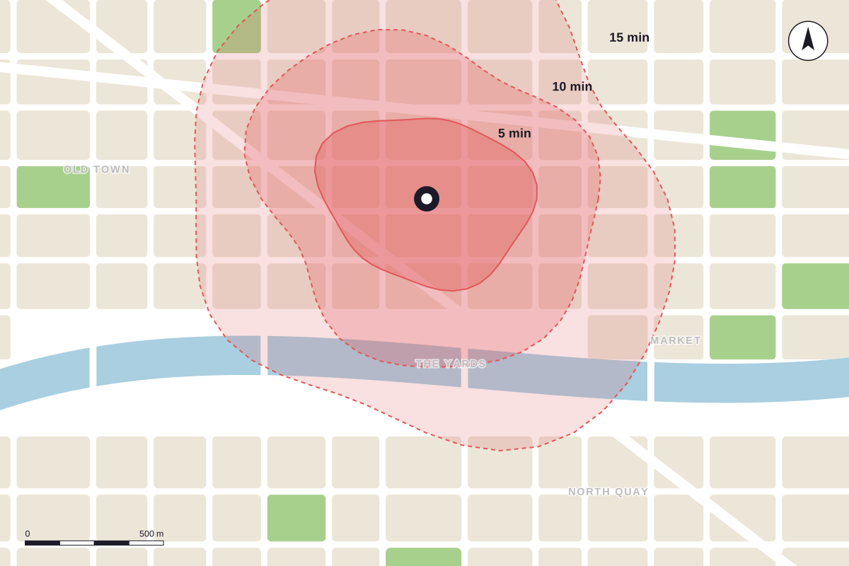
Everything within twelve minutes.
The school, tram stops, supermarket and river park are placed so that every home is within a twelve-minute walk of all four.
← All projects