Design the city together.
Streets, squares and neighbourhood plans, drawn up in public — with the people who will live with them.
 You are here
38,400residents heard since 2015
61streets and squares redesigned
212public workshops held
9neighbourhood plans adopted
Live consultations
Open now
Open · 13 days left
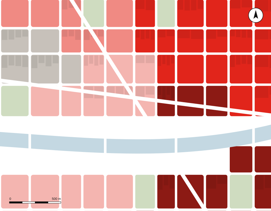
Ancoats Streets
Fewer cars, more trees and safer crossings on six streets.
1,240 responses · target 1,800
Open · 27 days left
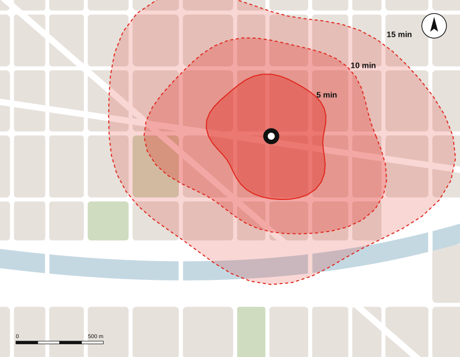
Ten-Minute Levenshulme
What should be within a short walk of every home?
612 responses · target 1,800
Closed · report out
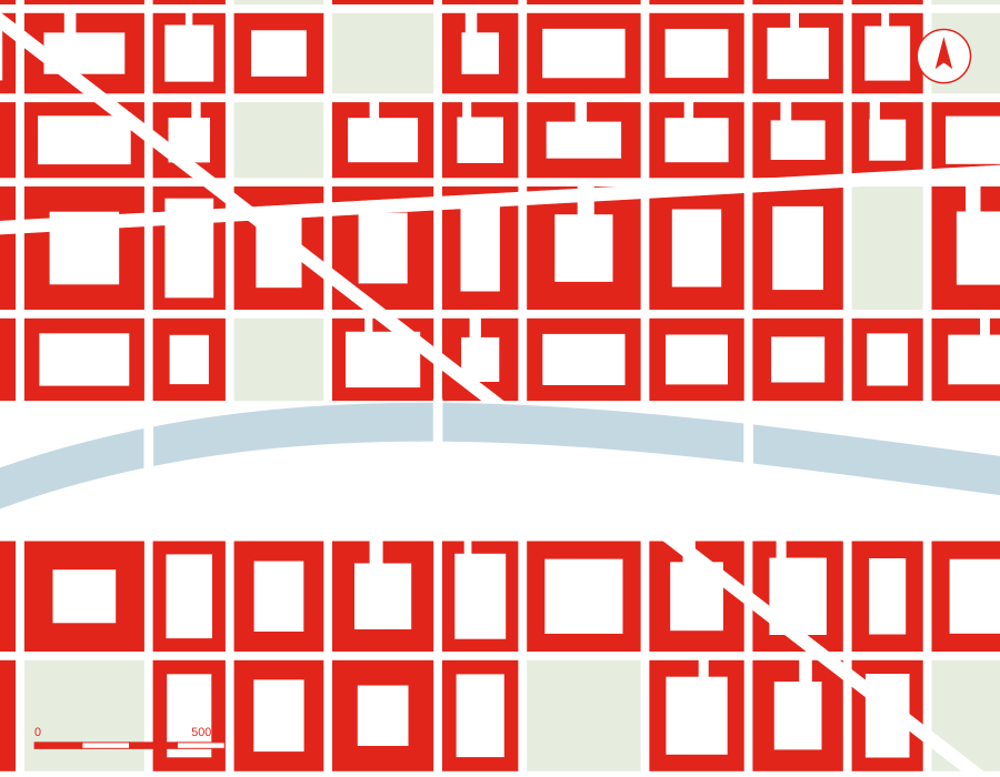
Market Street Plaza
A new public square in place of a car park.
2,980 responses · thank you
Quick poll
One question. Thirty seconds.
Every month we ask the city one question. Pick an answer to see how everyone else voted so far.
Our approach
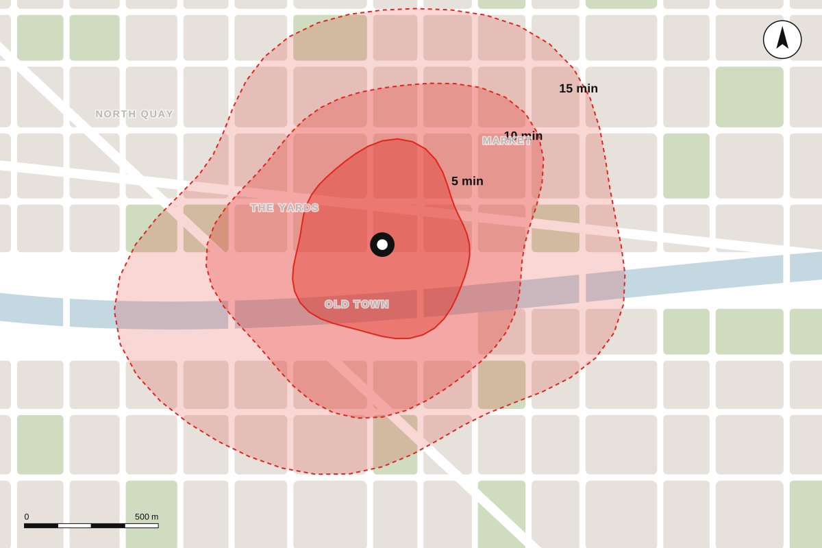
Maps first, then meetings.
We start every project by mapping how people really move, meet and wait — then take those maps to the street, the school gate and the market, and redraw them with the people who know best.
How we work