Transport & mobility planning · Zürich
Shorter journeys, better cities.
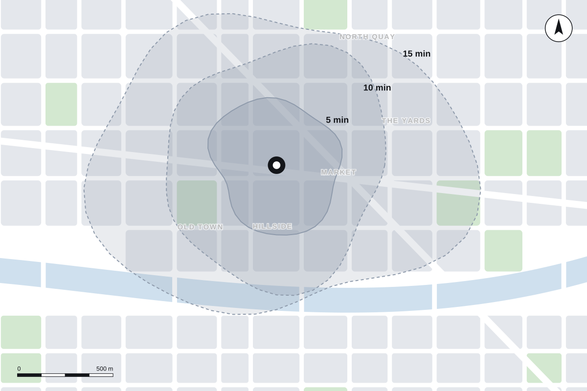
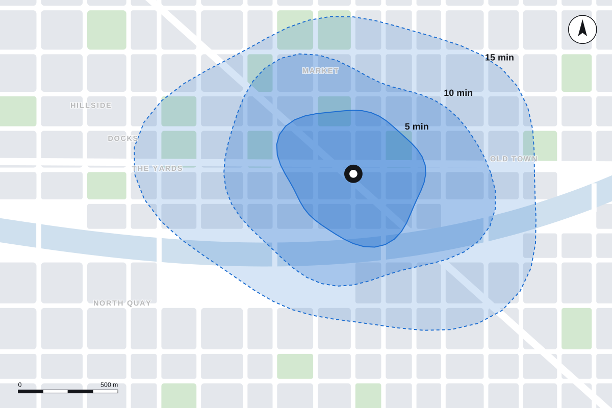
We plan tram lines, bus networks, cycle routes and walkable streets — measured by one simple thing: how far people can get in fifteen minutes.
See the routes →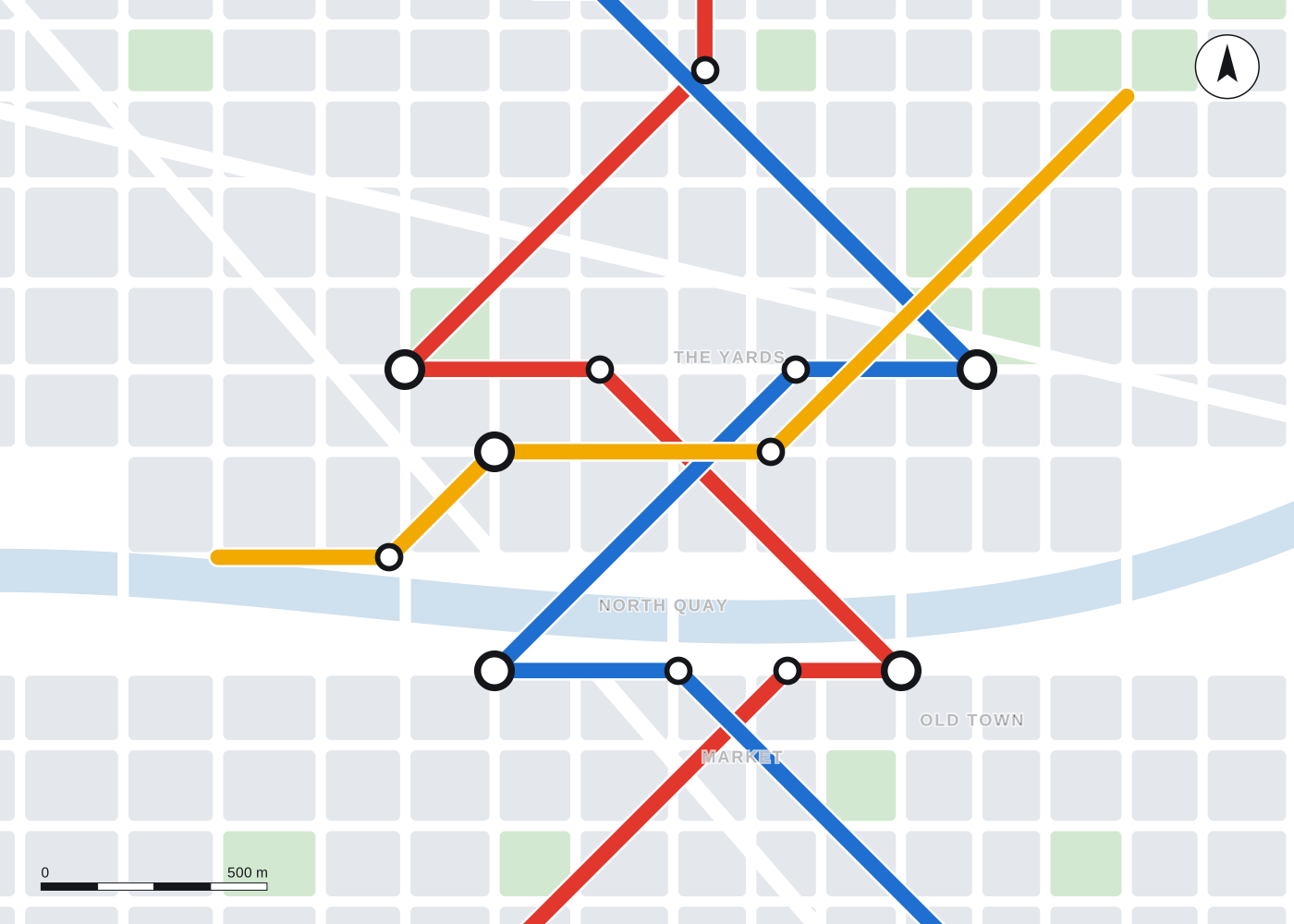
1Tram2Rail3Bus4Bike
Stop 1 · Why
Access, not traffic, is what a city runs on.
For fifty years transport plans counted cars. We count something else: how many jobs, schools, doctors and parks each person can reach in a short trip — and how to make that number bigger for everyone.
Stop 2 · Live
Departures · current projectsPlatform K
1Limmat Tram ExtensionZürich · design stageOn time
4Velo Network 2030Basel · consultationBoarding
3Night Bus RedesignBern · data analysisScheduled
2Regional Rail HubsAargau · feasibilityScheduled
Stop 3 · Method
Measured in minutes